A major goal of the Enlighten’10 mission at Axial Volcano is to produce accurate and detailed site surveys for installation of secondary nodes, sensors, and extension cables. These nodes, which weigh several thousand pounds, will reside on the seafloor and are the connections for the fiber-optic and electrical cables that will supply significant power and communication capabilities to a broad range of scientific instruments. The summit of Axial Seamount will host a Primary Node (PN-3B) with several smaller nodes and junction boxes at the vent sites and at geophysical-based sites within and at the sides of the caldera. Placing these nodes in close proximity to the hydrothermal vents and in areas that are relatively flat is desirable.
Today Jason spent until 1900h conducting a variety of surveys of the ASHES hydrothermal vent field, which is located along the southwestern edge of the Axial Seamount caldera. To produce a detailed map of the seafloor topography Jason uses a sonar to bounce a swath of sound pulses off the seafloor and then measure the round-trip time of the pulse’s return. The swath is like a broom that sweeps the floor as the vehicle moves along a trackline, mapping the seafloor topography. Jason is equipped with a Reson 7125 multibeam sonar that collects many gigabytes of depth data as it “flies” 30 m above the seafloor. Producing a detailed topographic map of ASHES that will allow us to visualize individual sulfide chimneys and flows requires that Jason follow a path of overlapping parallel lines – similar to mowing the lawn.
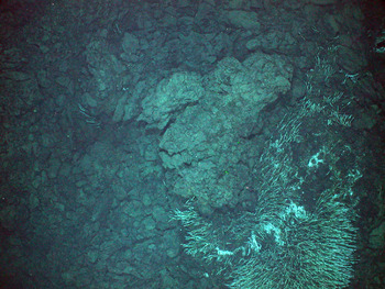
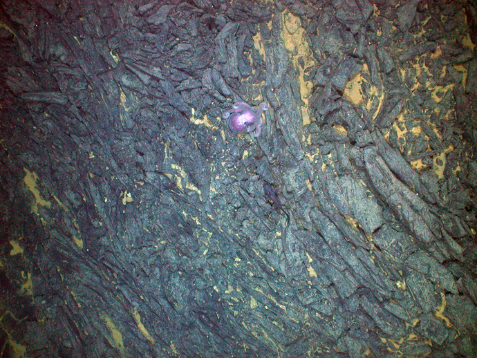
After a few hours of multibeam surveys, we conducted a reconnaissance visual survey of ASHES. Jason flew at an altitude of 4.5 m above the seafloor and at a speed of 2.5 m/s, which allowed visual observations. Trackline spacings were 10 m apart. Along with using the HD video camera, still photographs were taken every 10 seconds. Throughout the survey, scientists, and undergraduate and graduate students used the HD video camera to visually characterize the seafloor. Their observations were entered continuously into a log and database. Students used their newly acquired knowledge of lava morphology and learned how to document visual data collection. This reconnaissance survey also allowed us to locate the known hydrothermal vent chimneys and to plan for a follow-on detailed photo-mosaic survey.
The final survey began early this morning when we targeted a smaller 30 x 50 m area of the field to create a highly detailed photo-mosaic of the seafloor. Thousands of images were taken as Jason glided at a 4.5 m altitude off the seabed at a spider crab’s pace of 5 m/minute. Tracklines were spaced a mere 1.5 m apart to provide significant overlap among the multiple images. Mitch Elend (University of Washington) will lead the time-consuming and painstaking process of stitching these images together into a coherent, seamless photographic seascape – an invaluable resource for determining node and sensor placement locations. Ultimately, the Ashes hydrothermal vent area’s secondary node will supply the high power and bandwidth that will allow anyone with a computer to view an actively venting chimney in high-definition over the Internet.
Seeing a venting sulfide chimney for the first time is an unquestionable thrill and taking part in mapping and studying the area in detail is truly a privilege.
With weather approaching, Jason conducted a ~ 3 km transit across the seafloor of the volcano to the eastern edge of the caldera to examine a possible cable route from AHSES to Primary Node 1B, which will be located on the eastern summit of the volcano, safely away from sites of the most recent eruptions. From there Jason turned north and migrated up the wall of the caldera to the eastern edge of the summit. The goal of this survey was to image the area where Primary Node 1B will likely be placed. With winds coming up, a decision was made to recover the vehicle at 1900h.


