- Sunday, August 22
- Friday, August 20
- Wednesday, August 18
- Tuesday, August 17
- Monday, August 16
- Sunday, August 15
- Sunday, August 15
- Saturday, August 14
- Friday, August 13
- Thursday, August 12
- Wednesday, August 11
- Tuesday, August 10
- Monday, August 09
- Monday, August 09
- Sunday, August 08
- Saturday, August 07
- Friday, August 06
- Friday, August 06
- Thursday, August 05
- Thursday, August 05
- Wednesday, August 04
- Tuesday, August 03
- Monday, August 02
- Monday, August 02
- Sunday, August 01
- Sunday, August 01
August 2010
July 2010
Slideshow
Meter-Scale Imaging
Thursday, August 05, 2010
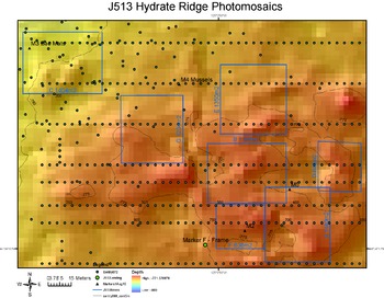
Meter-Scale Imaging of Sensor SItes at Methane Seeps
Seven high-priority sites for detailed imaging by Jason (boxes) and lines for photomosaic runs by Sentry (green dots).
Survey Plan for Jason Dive J2-513
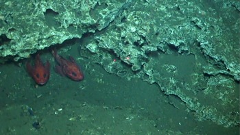
Rock fish at ~ 800 m water depth at the 50 m-tall carbonate site called the Pinnacle at Southern Hydrate Ridge.
Rock Fish at the Southern Hydrate Pinnacle
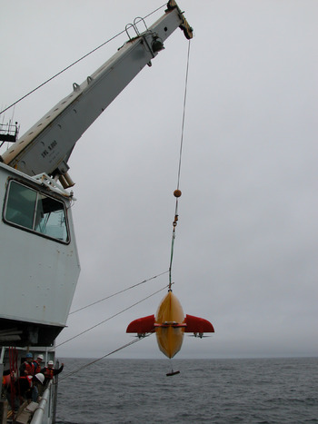
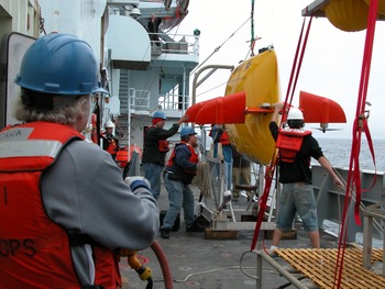
After very long Sentry and Jason dives yesterday, this morning was spent preparing for the next (and last) dive series for both vehicles, digesting the wealth of data we have already collected, and preparing summaries for all major operations on the cruise. The goal of the Sentry mission today and into tomorrow morning is to completely mosaic the seep cluster 400 m northeast of the Pinnacle site where sensors and secondary infrastructure will be placed. Sentry will fly ~ 4 m off the bottom in a series of N-S running lines. Sentry will also investigate bubble plumes documented in the NW corner of the seep site.
Jason is scheduled to go into the water at 1730h. It will work near the Pinnacle site conducting two N-S survey lines for additional testing of the RESON multibeam sonar. Following completion of this mapping exercise, Jason will transit north to the area where Sentry is working. Sentry will be focusing on mosaicking in the northern portion of the seep site, and Jason will initially focus on the southern area. Based on our nearly two weeks of surveying in this area 5 high priority sites have been chosen as potential sensor and node locations. The goal of this final dive will be to completely document these 5 sites at extremely high resolution and examine possible cable lengths and routes. The dive is anticipated to last ~ 20 hours.