- Sunday, August 22
- Friday, August 20
- Wednesday, August 18
- Tuesday, August 17
- Monday, August 16
- Sunday, August 15
- Sunday, August 15
- Saturday, August 14
- Friday, August 13
- Thursday, August 12
- Wednesday, August 11
- Tuesday, August 10
- Monday, August 09
- Monday, August 09
- Sunday, August 08
- Saturday, August 07
- Friday, August 06
- Friday, August 06
- Thursday, August 05
- Thursday, August 05
- Wednesday, August 04
- Tuesday, August 03
- Monday, August 02
- Monday, August 02
- Sunday, August 01
- Sunday, August 01
August 2010
July 2010
Slideshow
Nested Surveys
Monday, August 02, 2010


Map showing the survey plan for Jason dive J2-511. This dive, which will be conducted within the red box, will be a detailed survey of a previously identified active methane seep site.
Jason Dive 511 Survey Plan
Following Jason and Sentry surveys at Gary’s Bad Hang, we transited back to Southern Hydrate Ridge to complete more detailed surveys of the summit and areas where we saw evidence of methane seeps (e.g., areas of extensive bacterial matting and abundant biota) during previous dives. During the transit last night, we kept busy aboard the Thompson with EM300 and 3.5-kHz surveys, 2 gravity cores and 3 CTDs. As many of the first timers aboard are learning, we never miss an opportunity to collect data or samples.
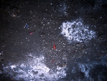
In the late morning, Sentry went back into the water to begin dive #70, a highly detailed survey of a 1 km2 area at the summit of Southern Hydrate Ridge where the most active seeps were found. Jason, now on dive J2-511, is currently conducting a highly detailed survey of Southern Hydrate Ridge to observe and photomosaic the areas of extensive bacterial matting and mounds we identified during J2-508. We infer these sites to be active methane seeps and thus candidate sites for the possible deployment targets for cabled sensors as part of the Regional Scale Nodes component of the Ocean Observatories Initiative. The Jason survey is a series of ~ 40 N-S lines, 230 m in length and spaced 10 m apart. Jason is flying ~ 4.5 m off the bottom and is taking a discrete digital still image every 10 seconds, as well as continuous video from several cameras.
During this entire operation, mapping is being completed in the Jason control van with annotations being continuously made on a hard-copy map. At the end of the dive we will have mapped, for the first time, all major sites of active methane seeps, clam beds, and surrounding sediment and hard-rock cover.