
Enlighten '10 Mission
The primary purpose of the Enlighten '10 cruise is to prepare for the installation of the Regional Scale Nodes (RSN) high-power and high-bandwidth cabled observatory. The RSN is the cabled component within the National Science Foundation’s Ocean Observatories Initiative (OOI), an initiative that is designed to transform the way we do science in the world’s oceans.
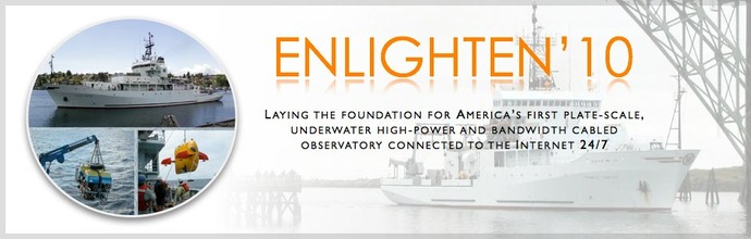
The Enlighten '10 cruise will take place on the 274-foot R/V Thomas G. Thompson and will include the remotely operated vehicle (ROV) Jason and the state-of-the-art autonomous underwater vehicle (AUV) Sentry. These vehicles will be used during the cruise for real-time imaging, sampling, and mapping of four main proposed work areas:
- A ~500 m deep site ~30 nautical miles west of Grays Harbor, Washington, where bathymetric and seafloor observations will be conducted during the cruise to determine placement of an uncabled mooring on the OOI Coastal Scale Nodes (CSN);
- An ~800 m deep site ~50 nautical miles west of Newport, Oregon, where high-resolution bathymetric and detailed seafloor surveys of methane seeps will be completed at the summit of Southern Hydrate Ridge;
- A ~600 m deep site ~40 nautical miles southwest of Newport, Oregon, where local seafloor and bathymetric surveys will be conducted to determine optimal placement of a cabled mooring shared between the RSN and CSN; and
- A ~1500 m deep site ~260 nautical miles west of Newport, Oregon, at Axial Seamount where high-resolution bathymetric and detailed seafloor surveys will be completed to determine installation sites for nodes, junction, boxes and extension cables.
As the Implementing Organization (IO) for the RSN, the University of Washington is taking the lead role on this cruise. Partners include Oregon State University (a member of the IO for the OOI Coastal and Global Scale Nodes) and Arizona State University.
The cruise is divided into two legs. The first half of the expedition is in collaboration with colleagues at Oregon State University who are directing work on the Endurance Array, the OOI shallow-water coastal moorings off Washington and Oregon. Detailed mapping with the ROV Jason 2 and AUV Sentry will be conducted at two proposed sites off Grays Harbor, Washington, for future deployments of OOI uncabled moorings that will transmit data via satellites. After the completion of these surveys, we will transit to Hydrate Ridge, 125 km west of Newport, Oregon. This area features a large methane hydrate deposit that is home to novel microorganisms and animals sustained in part by methane venting from the seafloor. Jason and Sentry will be used to map and take underwater photos and high-definition videos of the proposed experimental sites.
After the first leg of the expedition, the Thompson will make a port stop in Newport, Oregon, to exchange personnel and to offload Sentry. The second leg of Enlighten '10 will use Jason to map, image, and sample underwater hot springs at the summit of Axial Seamount. We will use the ROV to produce extremely high-resolution maps of the volcano and photomosaics of the seafloor. We will also plan for the proposed cable routes and instrument deployment sites for the RSN during this portion of the cruise. Arizona State University will be testing state-of-the-art optical-communication instrumentation and micro-sensing devices, as well as conducting microbiological experiments throughout the cruise.
Cruise Dates:
Leg 1: 26 July - 7 August, 2010 (Seattle, WA to Newport, OR)
Leg 2: 8 August - 23 August, 2010 (Newport, OR to Newport, OR)