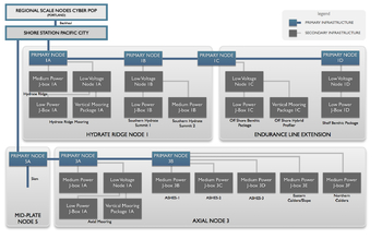
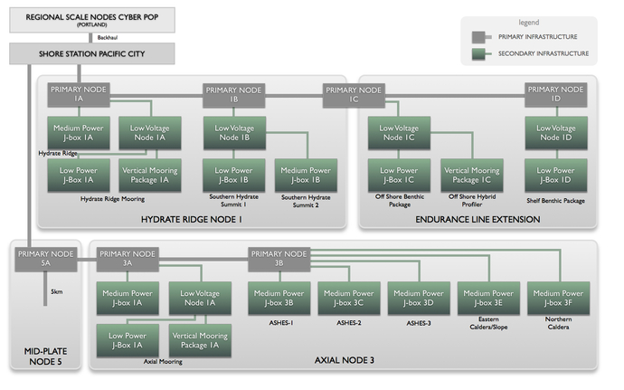
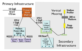
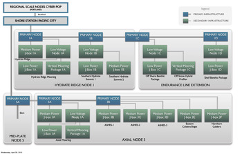
The RSN’s Secondary Infrastructure is shown schematically in the figure above. The Secondary Infrastructure includes all extension cables, medium power and low power junction boxes, low voltage nodes, two water column moorings, and seafloor and mooring sensor packages. This infrastructure is linked to the Primary Infrastructure by connection to the Primary Nodes, which distribute low voltage (375 V) and data at a lower rate (1 GigE) to a group of Low and Medium Power Junction Boxes (J-Box) and Low Voltage Nodes (LV) clustered geographically around the Primary Node. The Low Voltage Nodes are connected to Low Power Junction Boxes (LP-JBox) at 48V and100BASE-T that provide the correct data and power interface to small groups of scientific instruments. This system is described in more detail in the 2007 White Paper on RSN Secondary Infrastructure.
In concert, this infrastructure will support (at least) three general scenarios:
1. Local area networks around a Primary Node (e.g., Axial Seamount);
2. Water column moorings at two of the Primary Node sites (Hydrate Ridge and Axial Seamount), which extend the science capabilities from the seafloor to the sea surface; and
3. Extended spatial arrays (e.g., Hydrate Ridge/Coastal Endurance Array).


