Related Content
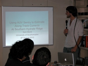
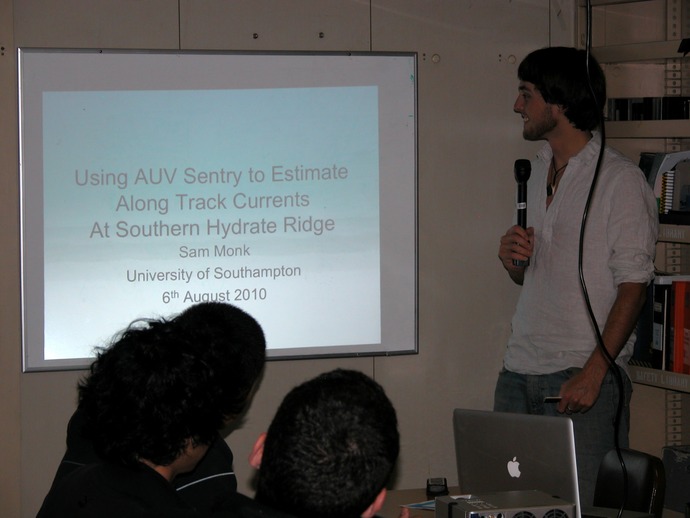
Sam's Presentation On Sentry and Currents
Sam Monk's Presentation

Student Projects
Students participating on the Enlighten cruise will each design and conduct a re ...
Sam Monk: Investigating the Currents Around SHR using the AUV Sentry
This project aims to qualitatively describe the currents around Southern Hydrate Ridge, during a Sentry dive. The AUV Sentry collects a wide array of scientific data, but also records its navigation data. During surveys Sentry is usually programmed to follow straight line tracks (in a pattern like cutting the grass), the navigation data shows when Sentry is not achieving these desired paths. Sentry uses an inertial navigation system to accurately record its movements; this data will be compared to the programmed course. In a current Sentry aligns itself into the current, like a wind vane, at such an angle that is moves forward at the desired speed, this angle is referred to as the crab angle. By finding the crab angle and knowing the speed along the track lines trigonometry can be used to find the eastward (cross track) components of the current, further work would allow the northward (along track) components of the currents velocity vector to be calculated. Once the crab angle is found it will be plotted as a quiver plot in MATLAB, which will indicate the direction of the current along each track, by viewing this overlaid on a bathymetric map of the area, the currents that occurred during the dive will be qualitatively mapped.
A combination of local tides and geomorphology are likely to be important factors controlling the bottom currents. As the large scale currents move over the area it is likely that the geomorphology will focus the currents in some regions, and shelter the others. This may lead to variations in chemical or biological properties in different regions.
It is important to understand the currents in this area as they play an important role in distributing the nutrients and biota in this system. The currents are not only responsible for moving the nutrients biology requires for growth around the Southern Hydrate Ridge, but will also play a role in dispersing offspring, which will influence how well the organisms survive on the site. Currents are also important for some benthic filter feeders, which require certain current speeds to prevent their feeding appendages from becoming too silted up, and also to bring a regular supply of food to them.
There are several important limitations to remember when considering the results of this investigation. The first is the temporal limitations, this map will be based on a single dive, so is unlikely to represent the currents found at all times. It also takes time for Sentry to move from one end of the survey location to the other, during this time the tides will progress, and this will have a large effect on the currents. Sentry is also programmed to remain a certain distance off the sea floor, so as Sentry approaches topographic features it will rise in the water column, this may result in Sentry moving into areas where different currents will affect its progress.