Slideshow
First Science Dive
Thursday, July 29, 2010

Bob and Craig extract sediment from push cores collected from Jason dive 507.
Push Cores
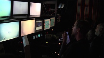
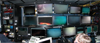
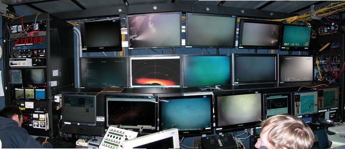
Annie and David on watch in the Jason Control Van.
Students standing Watch in the Control Van
After successful engineering dives with both Jason and Sentry yesterday, we are preparing for the first science dives of the cruise. Both vehicles will be deployed at the same site, and this requires careful planning and communication while both vehicles are in the water. The 500 m deep site that Jason and Sentry will survey today is the proposed location of an uncabled mooring (the deepest of three moorings) that will be part of the Grays Harbor Line, a component of the Ocean Observatories Initiative’s Coastal Scale Nodes. The main goals of the dive are to 1) obtain high-resolution bathymetery of the target site where the proposed Coastal Scale Nodes moorings will be deployed at ~500 m; 2) test the CHIRP system on Sentry that provides visualization of the subsurface sediment layering, faults, etc to ~ 75 m beneath the sea floor; and 3) obtain direct visual imagery and documentation of the area. This site is located on a small platform within an arcuate-shaped basin on the northern side of Grays Canyon. Sentry will be deployed first and will begin high-resolution mapping with the RESON sonar and CHIRP. Following assurances that Sentry is safely working, Jason will then be lowered and begin a survey up slope.