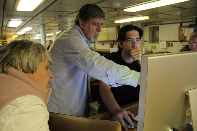
The ocean is to most people characterized by the surface of the water, not the surface of the seabed. Few people ever get to see the ocean floor firsthand, and even then it is only possible to see a small sliver of it at a time. To get the feel for the seabed on this cruise I am working with sonar data to give a broad and accurate image of the seafloor.
The Thompson is equipped with a Kongsberg EM302 multibeam sonar and a Knudsen 3.5 and 12 KHz chirp subbottom profiler. These two systems have, in combination, the ability to image the seafloor and shallow sediment structure below. On leg 1 I used both systems extensively to look at the viability of burying a fiber-optic cable from the RSN primary node site at PN1B up to the instrumentation locations at Southern Hydrate Ridge.
The multibeam sonar can ensonify (image with sound) a broad swath of seafloor, normally three times the water depth in width. This means that at Hydrate Ridge on a single pass I mapped a 2.4 km wide path along the seafloor. Normally the image directly beneath the ship is more accurate than the image at the edge of the swath, so surveys will overlap the outer beams by 50% or more to increase the accuracy of the survey. In addition to the morphology of the seafloor the amplitude return from each ping can give valuable information about the seabed material. In general high return strengths correspond to hard targets such as rock or carbonate, whereas low return strengths correspond to soft targets like clay, silt, and biological cover.
The chirp profiler uses a low frequency 3.5 KHz chirp and a higher frequency 12 KHz chirp to penetrate the seafloor and image sediment layers down to a depth of ~30-60m depending on the sediment and system configuration. We use a dual frequency system because the lower frequencies have greater penetration while the higher frequencies have better resolution. For a survey this means that the 12 KHz system will accurately image the first 2-10m of sediment at a high resolution, and the 3.5 KHz will image below that at a somewhat lower resolution.
Putting these instruments together, on multiple passes I am able to describe the surface and subsurface structure of the seafloor, and for the purposes of a burial assessment survey avoid any regions of hard material and route the cable up through a path of pure mud. For this survey the least interesting path is by far the most compelling.


